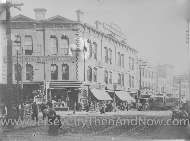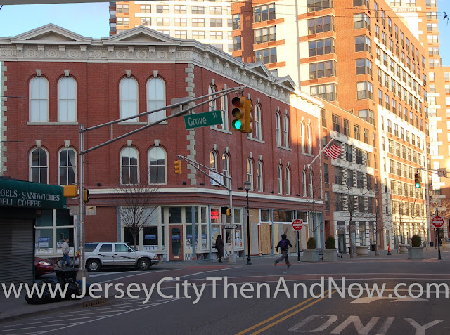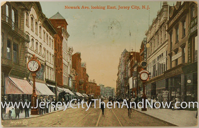
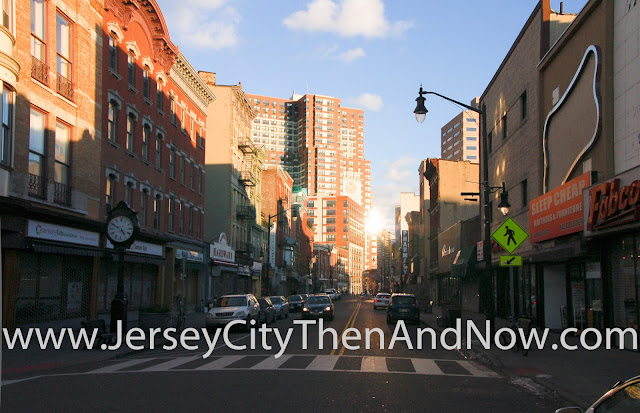
The north side of Newark Ave, between Erie and Grove Street has retained a lot of turn-of the century buildings and their architectural details have been restored. The south side is a different story though... Several buildings have been torn down and replaced with one story retail spaces.
However, if looking closely at the three buildings that are nearest to the photographer on the right hand side in the photos above, it is probably the 19th century buildings that are still standing. These three buildings have exactly the same total (as well as floor height) as the buildings in the old postcard, and it likely that they just had their original facades covered up in the 70s or 80s.
Also, if you visit what is currently the 'C H Martin' store (third building on right-hand-side) you will notice that the ceiling is a tin ceiling on the ground floor - suggesting the building would be significantly older than the facade would have one believe.
Imagine if the facades of these buildings were restored to their former glory - that would be an important step towards revitalizing this whole section of Newark Ave.
(A funny detail is the clock to the left in the old photo - in that photo the base is in itself as tall as a grown man. The clock that is in the same place today is significantly lower.)
Picture Credits
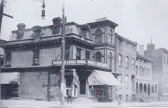
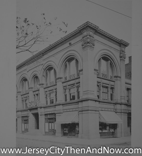
The old picture is from Jersey City Free Public Library's great collection of historic pictures in the New Jersey Room at the main branch.Using the Picture Slider
You should be able to use the green handle in the middle of the picture above to show more or less of the old and new pictures.- In recent versions of Firefox and Internet Explorer you should be able to click on the green handle in the picture and (while still holding down the mouse key) drag it from left to right to show more or less of the old picture.
- In other browsers you may need to single or double click on the image, to make the slider move to the location where you clicked.
View Larger Map